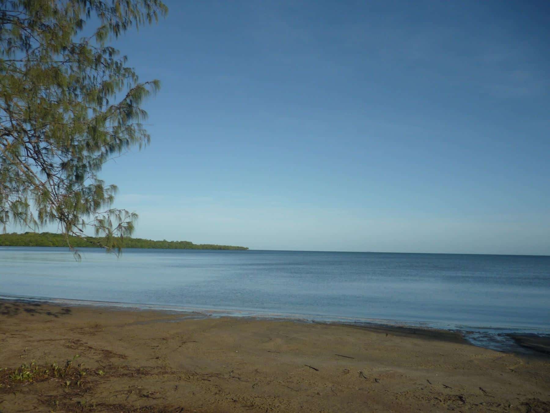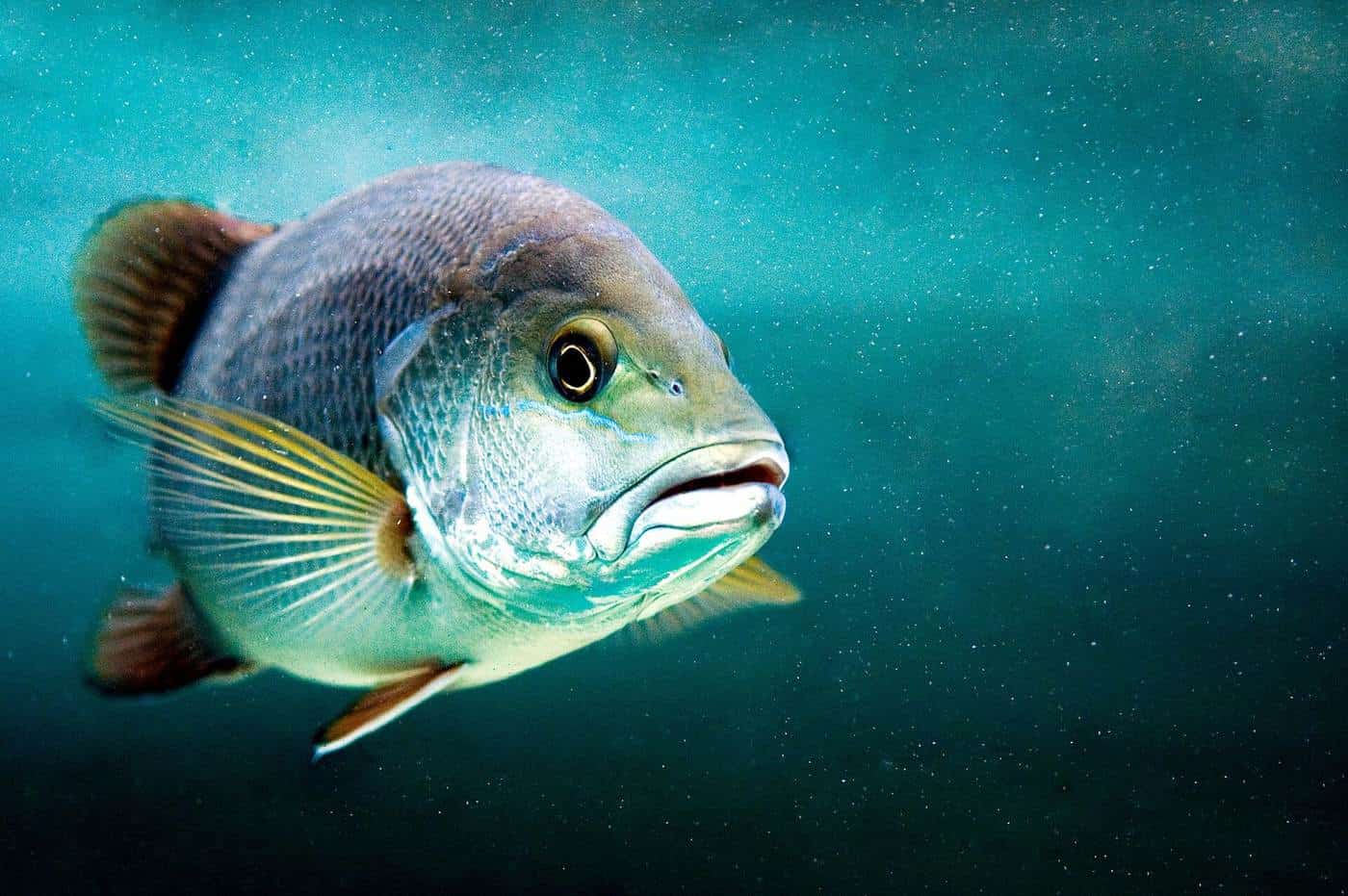
Cape York Peninsula is the fishing trip many Australian anglers dream about for years. It is the largest wilderness in northern Australia: a vast, mostly flat landscape of savanna woodland, rainforest pockets, wetlands and mangrove-lined rivers, running north to the tip of the continent. Its waters hold barramundi, mangrove jack, fingermark, threadfin salmon, queenfish, giant trevally and Spanish mackerel, often in places that see few other boats.
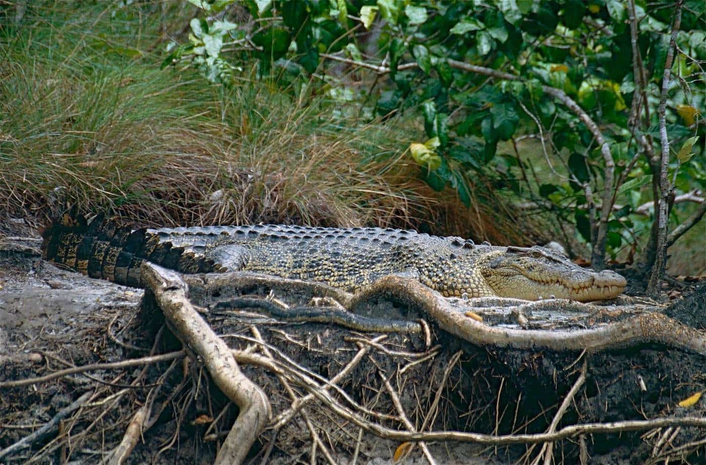
It is also remote, seasonal and genuinely dangerous if you are careless. Roads are long and partly unsealed, many close in the wet season, estuarine crocodiles live in every waterway, and Queensland's fishing rules, closed seasons and marine park zones apply throughout. This independent guide helps you plan a trip that is productive, legal and safe. We do not run charters or sell anything. We draw on official sources such as the Queensland Government and on reputable references, and we list them on every page.
571 km
Lakeland to Weipa
Peninsula Developmental Road
58–120 cm
Barramundi slot
Queensland size limit
5 m
Stay back
From the water's edge in croc country
Where to fish on Cape York
Our fishing spots hub covers the main bases and waterways anglers use.
Weipa is the Cape's largest town and the most popular base for Gulf of Carpentaria fishing. Albatross Bay is fed by the Mission, Embley and Hey rivers, and the town has fuel, supplies, a boat ramp and an airport.
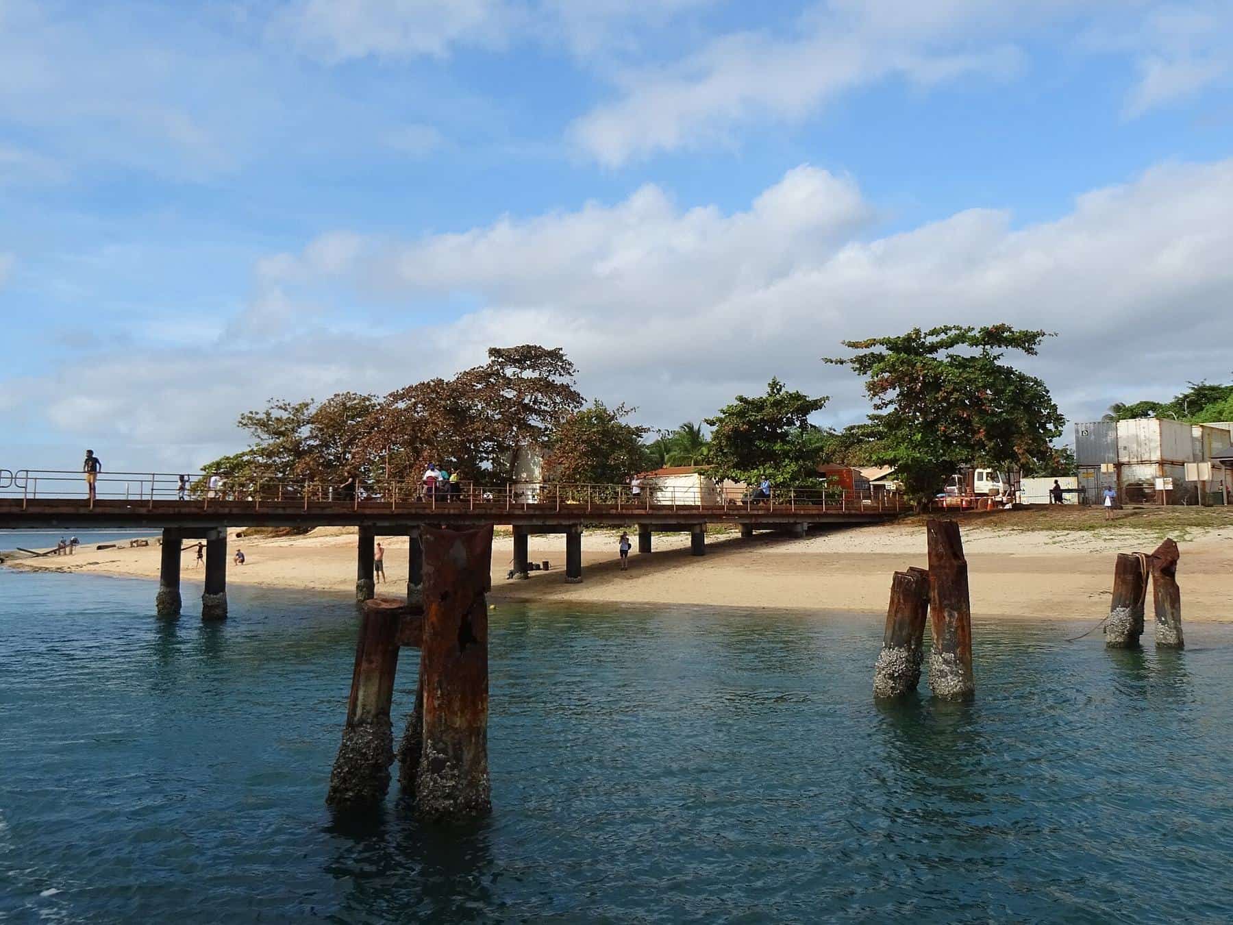
Seisia and the tip offer fishing at the very top of Australia, with a jetty, a harbour and ferries to Thursday Island, plus waters that run into the Torres Strait.
Cooktown and the Endeavour River give east coast estuary and reef fishing at the southern gateway to the Cape, in a town with a remarkable history.
The rivers of the western Cape, including the Pennefather, Archer and Jardine, are some of the least developed rivers in Australia.
The fish
Our target species hub explains the fish that draw anglers north.
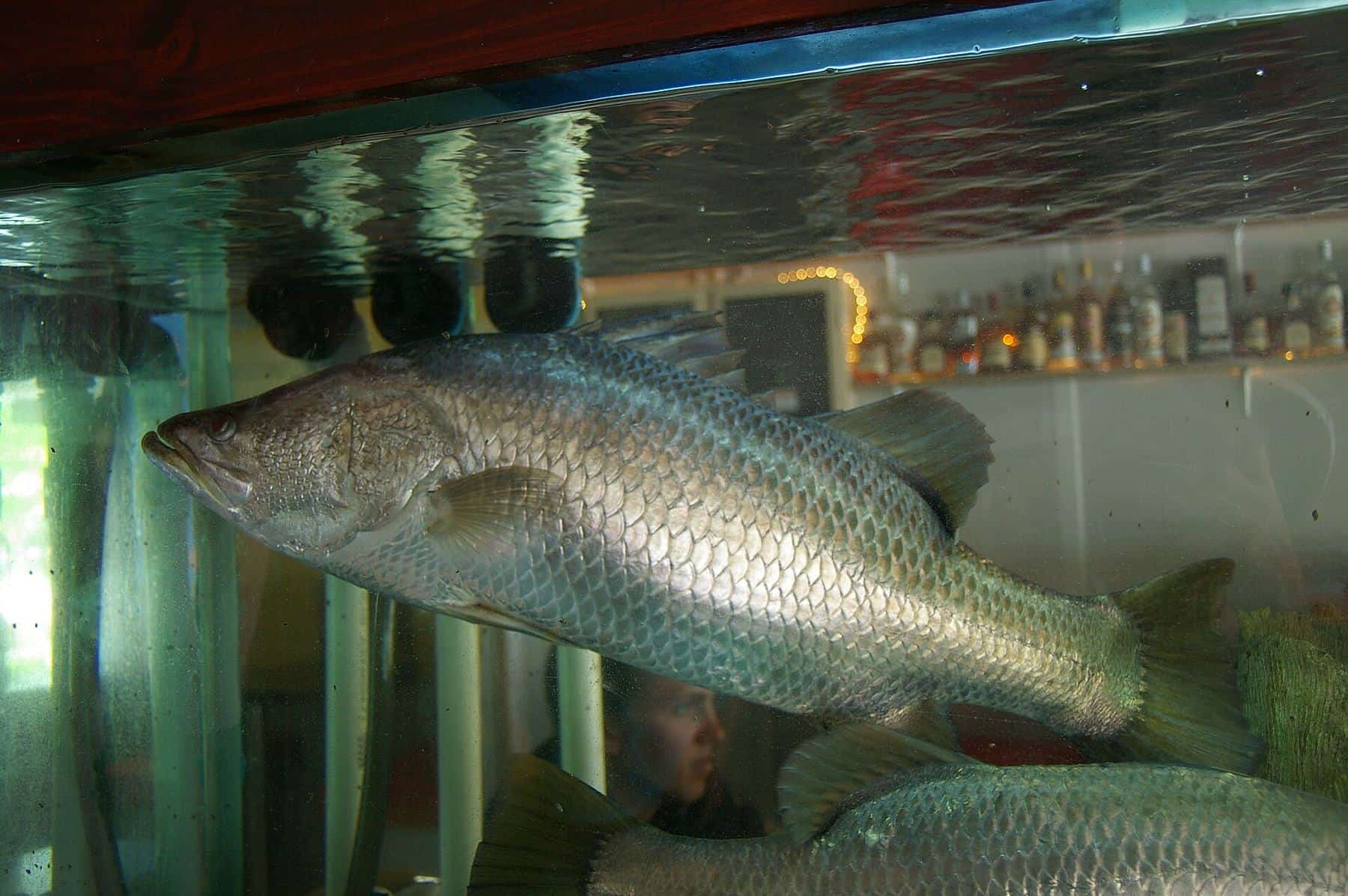
- Barramundi: the icon of northern fishing, found from freshwater billabongs to the open coast, with strict closed seasons and a slot size limit in Queensland.
- Mangrove jack and fingermark: hard-fighting snappers of the mangrove snags, rock bars and inshore reefs.
- Spanish mackerel and pelagics: fast, toothy predators of open water, including Spanish mackerel, giant trevally and queenfish.
Rules, safety and planning
Our trip planning hub covers the essentials.
- Fishing rules and closed seasons: size and possession limits, the barramundi closed seasons, no-take species, marine park zones and how to stay up to date.
- Crocodile safety for anglers: the Queensland Government's Be Crocwise advice for fishing, boating, camping and cleaning your catch.
- Getting to Cape York: roads, distances, the wet and dry seasons, flights, fuel and permissions for Aboriginal land.
Why fish Cape York?
The variety. Few places in Australia let you fish freshwater lagoons, mangrove creeks, big tidal rivers, sand flats, rocky headlands and offshore reefs within a single trip. On the Gulf side, rivers spill into shallow, warm waters. On the east coast, estuaries open onto the northern Great Barrier Reef.
The remoteness. The population of the whole Peninsula is small. Weipa, the largest town, had about 4,100 residents at the 2021 census. Away from the towns, you may not see another boat all day.
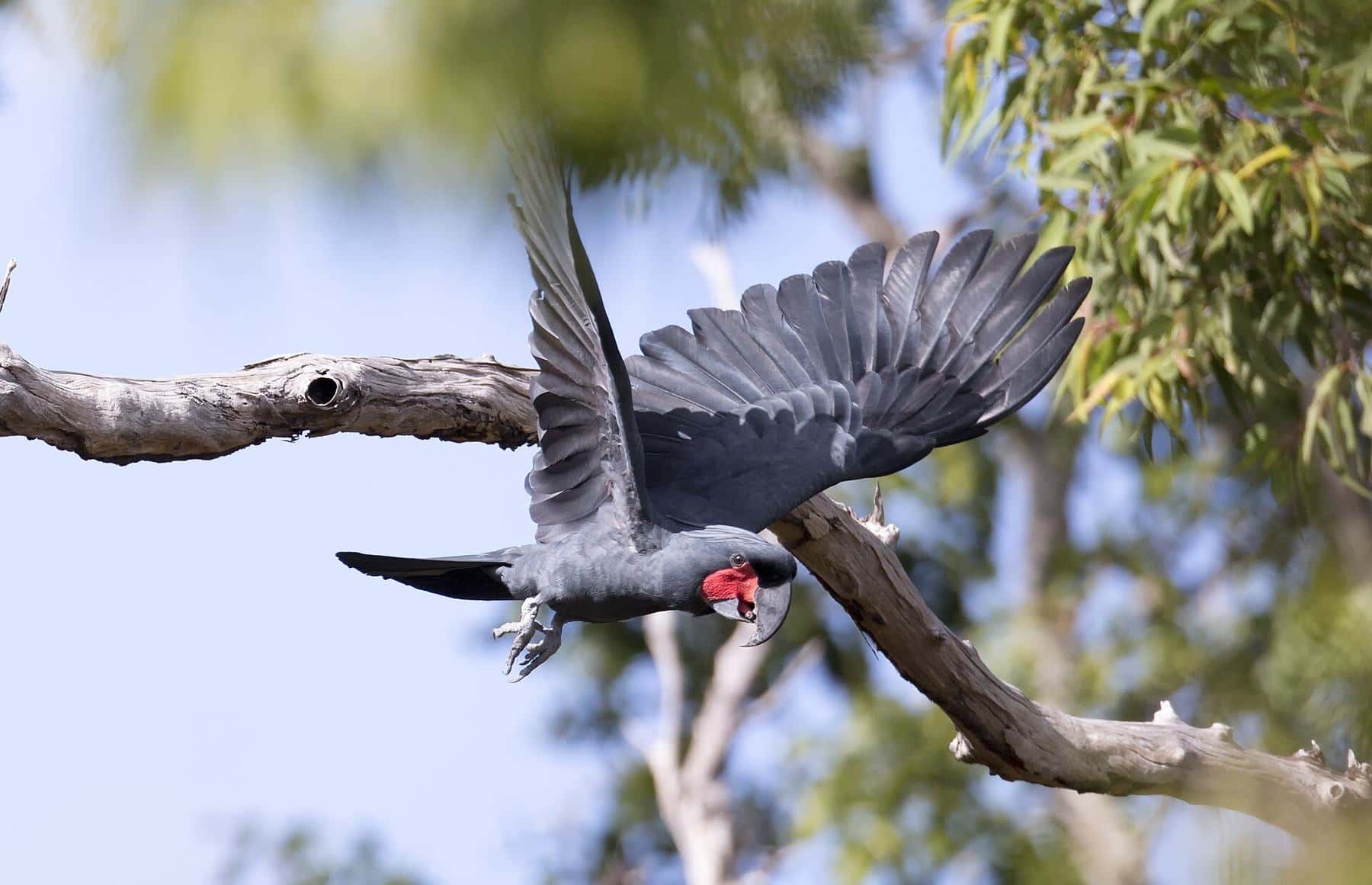
The country. Cape York is not just a fishing destination. It is Aboriginal and Torres Strait Islander country with deep cultural significance, and its savannas, rainforests and wetlands support wildlife found nowhere else in Australia, such as the palm cockatoo. Many visitors find the landscape and the people as memorable as the fishing.
The history. The first recorded European landing in Australia took place on the western shore of Cape York in 1606, when the Dutch navigator Willem Janszoon landed near the site of present-day Weipa. James Cook later beached the Endeavour for repairs at the river mouth where Cooktown now stands.
Fishing responsibly
Cape York's fisheries are healthy partly because they are remote, but they are not limitless. Keep only what you need, follow size and possession limits, handle fish you release carefully, and respect closed seasons and no-take species. Possession limits in Queensland are not daily limits: they include fish in your freezer at camp or at home.
Respect the land, too. Much of the Peninsula is Aboriginal land, national park or pastoral lease. Camp only where you are permitted, follow local rules, take your rubbish with you and never leave fish frames near the water, campsites or boat ramps, where they attract crocodiles.
How we write our guides
Every page on this site is written from scratch. We base our guides on official sources such as the Queensland Government's fishing rules and Be Crocwise program, plus reputable references for geography, history and fish biology. We do not invent catch rates, prices or "secret spots". Rules and conditions change, so we always point you to the official source. If you spot something out of date, please contact us.